
These maps show state-maintained roadways within Texas’s US congressional districts.
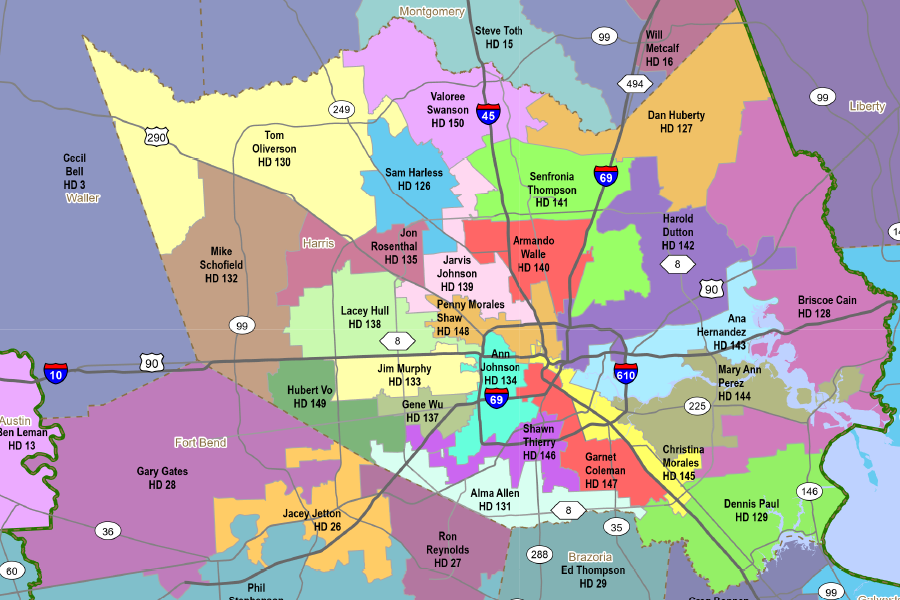
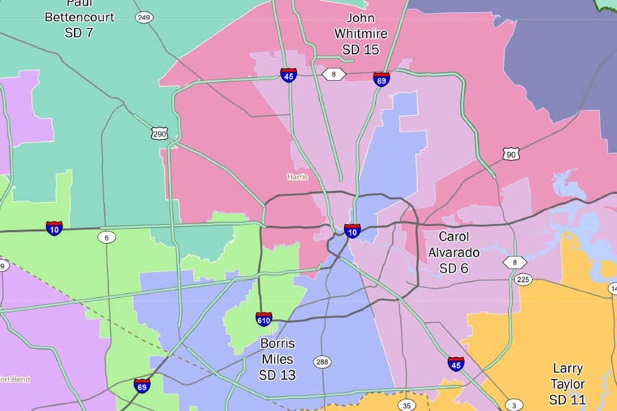
Statewide map for each Texas House of Representative District.


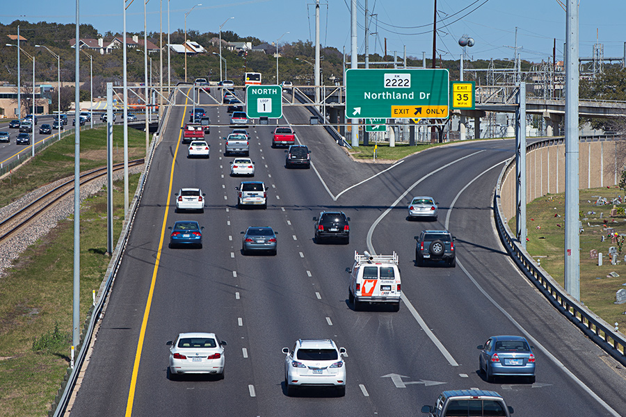
A convenient and reliable linear referencing method for locating features along a roadway.
The departmental map serves as a visualization of all on-system routes (those that TxDOT maintains).

The state’s largest densely populated urban cores and their less densely populated surrounding areas.

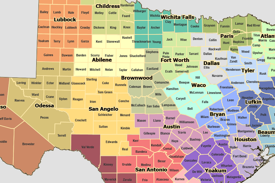
These maps show maintenance section routes by TxDOT district.
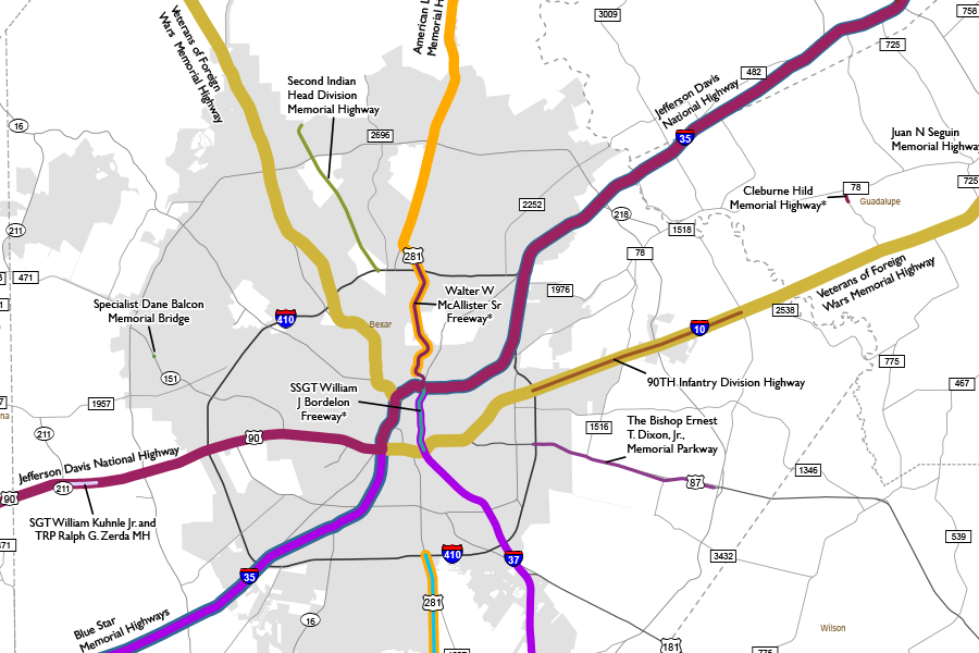
Memorial Highways pay tribute to notable people or groups and can be designated by the state or by local governments.
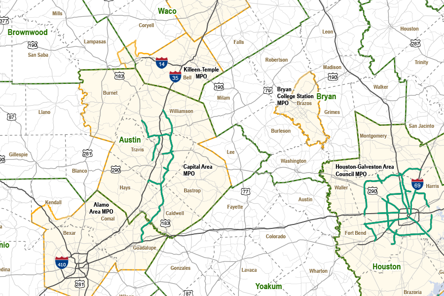
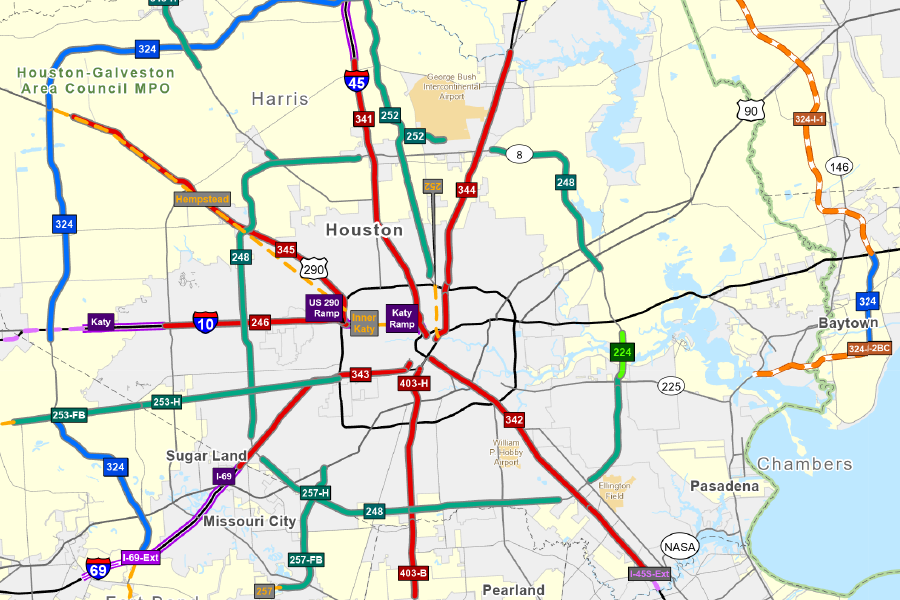
Metropolitan Planning Organization (MPO) is required for each urban area with a population of more than 50,000 people.

City and county routing maps for vehicles transporting non-radioactive hazardous materials.
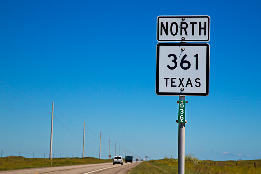
A small green placard displaying a three-digit number that’s placed at intervals along all state-designated routes in Texas.
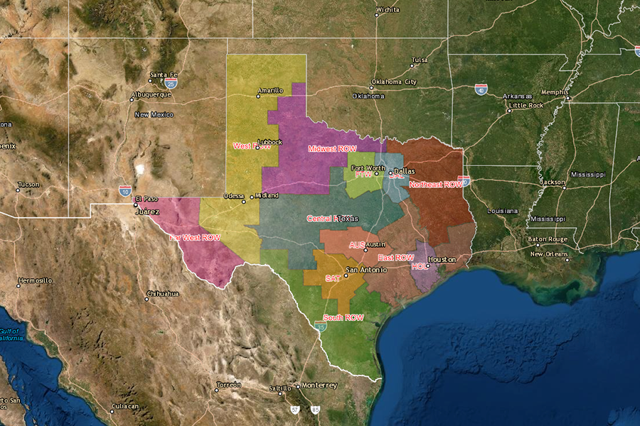
View the real property asset map showing property, utilities, and commercial signs.

The statewide planning map application contains the following TxDOT maps.
Map of toll roads and HOV lanes, including details such as toll names, IDs, operators, and mileage.
